


Beyond the point
Extract only the most relevant information to simplify your surveying workflows
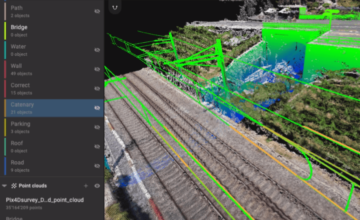
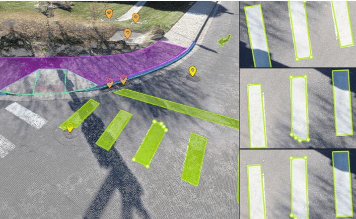
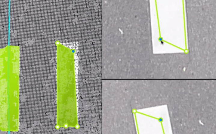
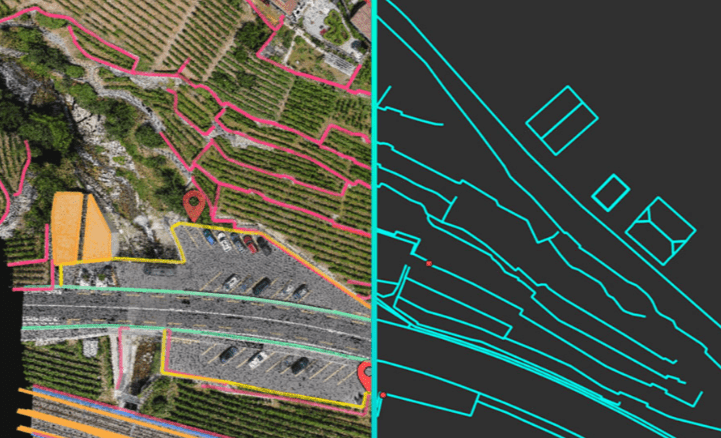
Vectorize anything
Use the combined power of images and point clouds to extract key elements from photogrammetry and LiDAR data. Survey the bottom and top of curbs, building footprints, walls, catenary curves and more.
Flexible & scalable
Work with small to very large projects. One or many photogrammetry and laser scanning files can be worked on in the same project.
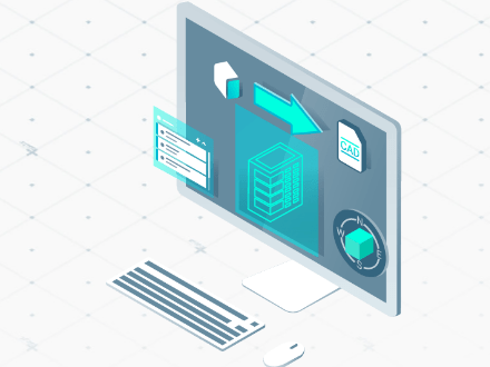
CAD ready
Extract vector files from point data with a reduced file size, layers and properties for a smooth transition to CAD.
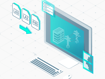
Aerial data
Create a point cloud from images in Pix4Dmapper, and drag and drop the .p4d file to Pix4Dsurvey.
Laser scanner or LiDAR
Pix4Dsurvey works with any point cloud formatted as a .las or .laz file.